
The Navile
For centuries, a number of canals traversed Bologna. Nowadays most have been covered over and within the line of the old walls (see The Walls of Bologna), only a few sections are visible from Via Piella, Via Capo di Luca and Via Malcontenti. Most of the canals were used to power mills used for various industries, but especially cloth.
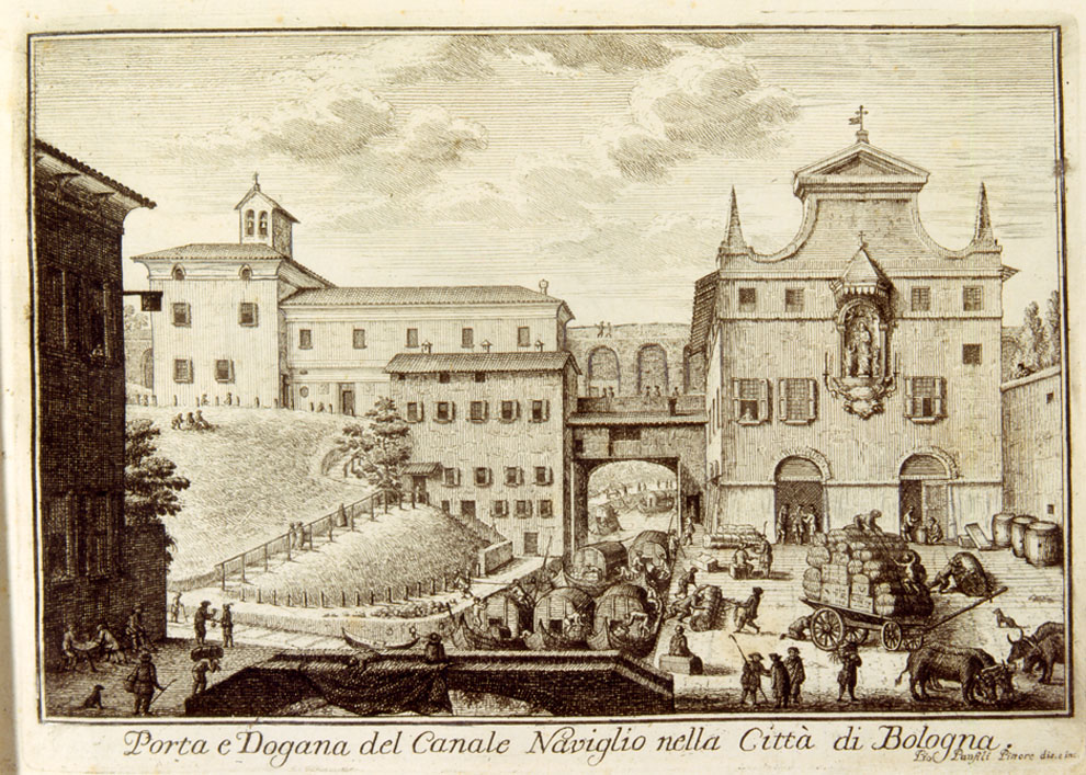
The Canale Navile, or navigable canal, was constructed to allow transportation of goods to Ferrara and Venice as well as provide water for irrigation. Work is thought to have started on an early version of this canal in the 12th century. However it reached more or less its final form around 1547 with an extension to a port within the walls.
The port was located near the location today of MAMbo – the Bologna Museum of Modern Art. The first 400 metres or so heading south from the old port have been covered over. Our walk will follow the canal from where it emerges.


The Navile is fed from water diverted from the Reno River at Casalecchio into the Reno canal, which today runs under the city. The waters of the Navile return to the Reno River from where they originated near Malabergo, about 35km from Bologna.
Starting the walk
There is a pleasant walk along the banks of the Navile starting a short way from the centre of the city. The easiest way to get to the start of this walk is to cross the bridge across the railway lines at the top of Via Indipendenza, to the right of the railway station. Once across the bridge, turn to the left on Via dei Caracci past the back of the railway station.
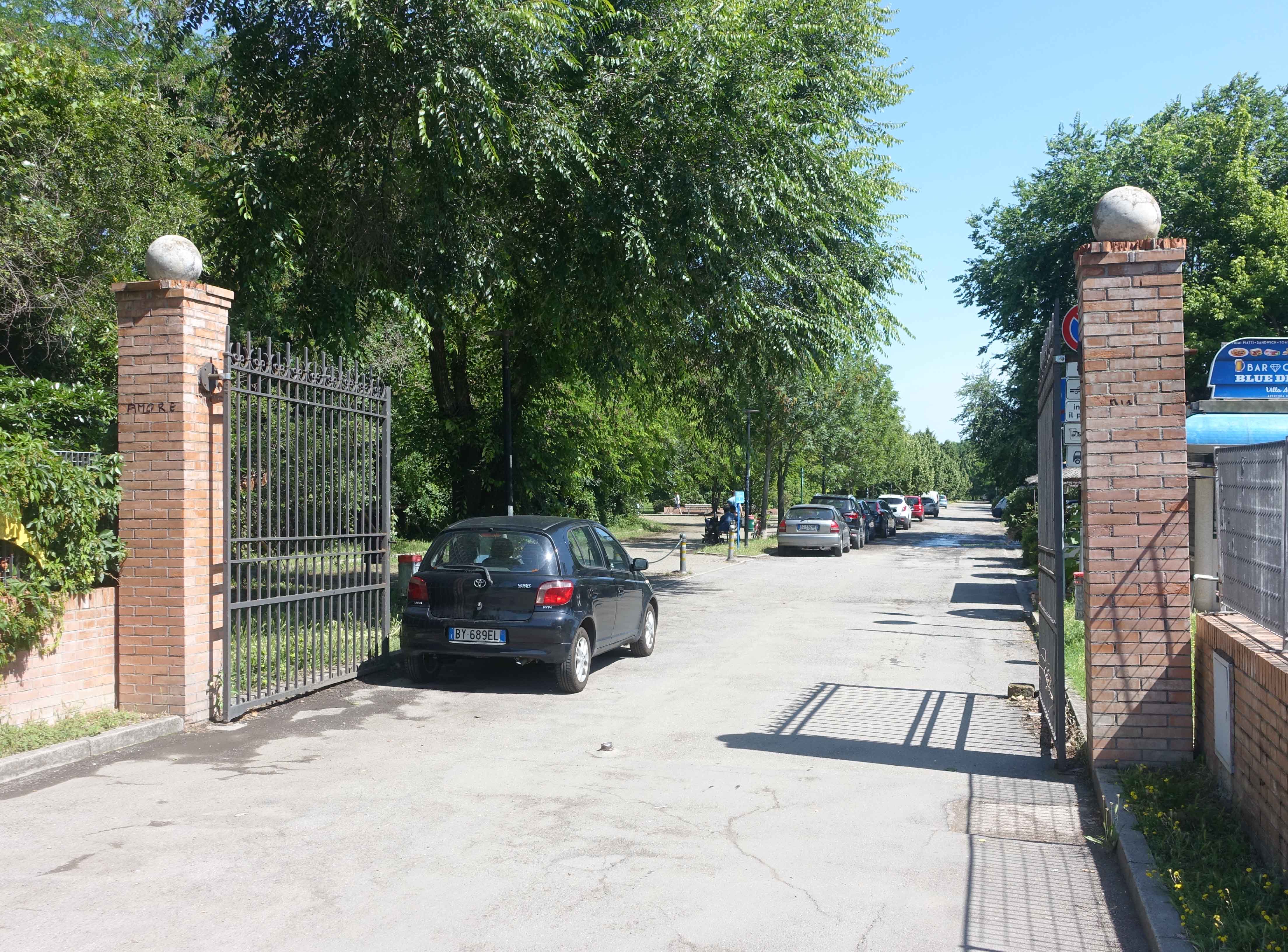
After about one kilometre, you’ll arrive at the entrance to Parco Via Angeletti on your right.
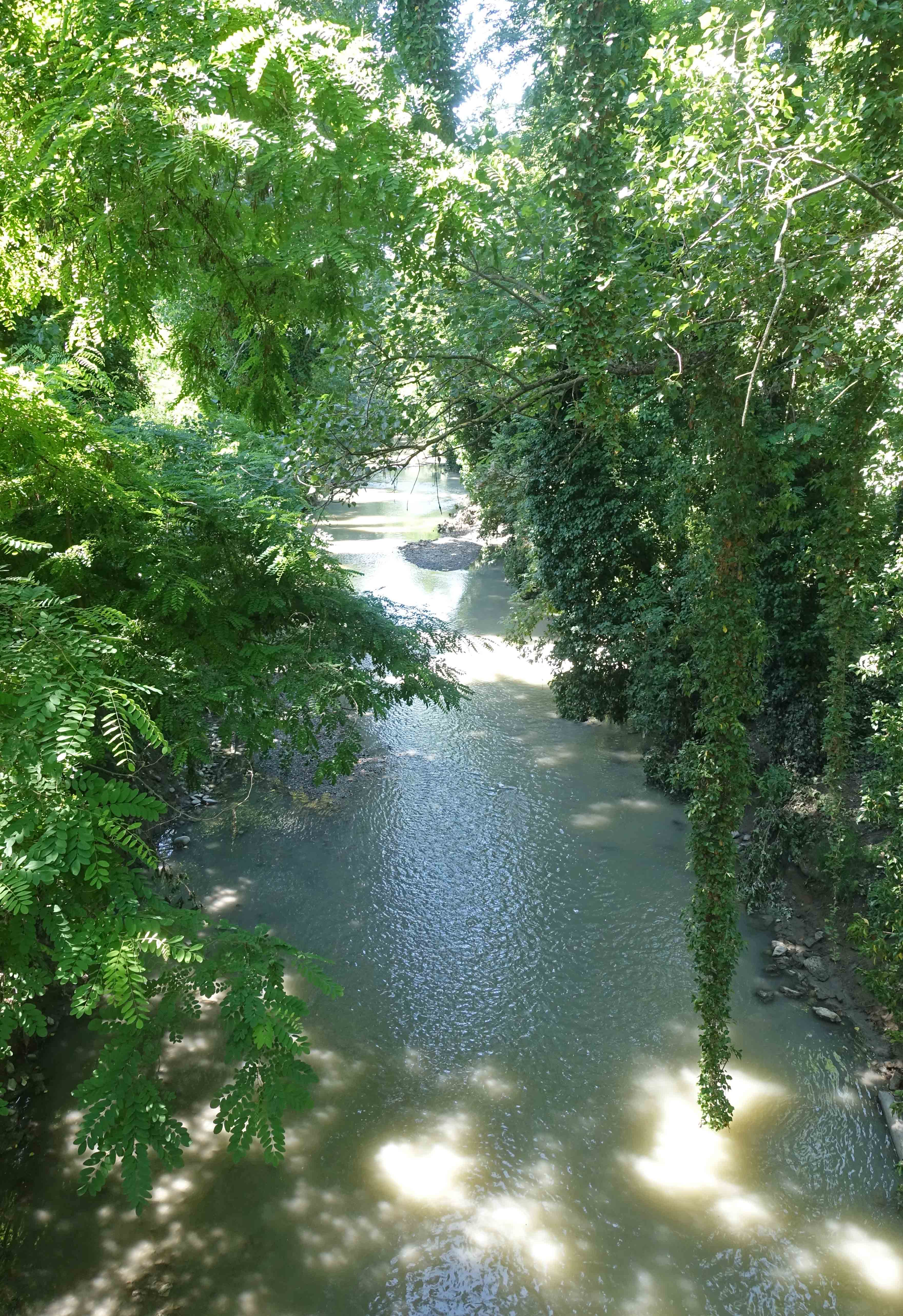
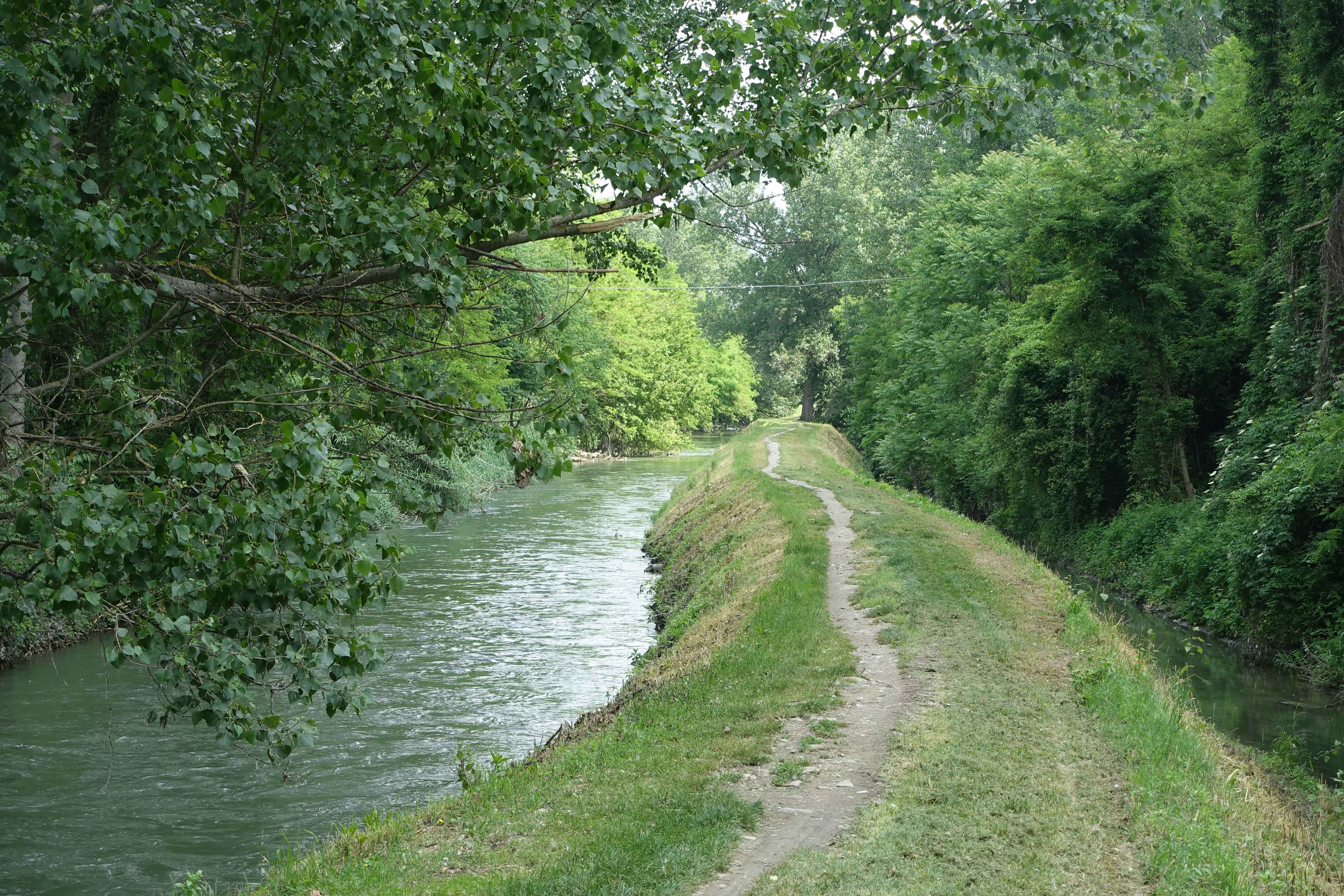
The canal emerges from underground at this point and runs parallel to pathway on the left.
An alternative start
The visible part of the Navile starts in Via Paolo Bovi Campeggi where there is a small port. It can be reached from the railway station by walking along Via Cesare Boldini.

From here, the path goes under a long railway overpass and continues along the opposite side of the canal to that described above. This section may not be attractive to some walkers, as it’s quiet and the underpass is out of sight.
If starting this way continue along this side of the canal until you reach a wooden footbridge which is reached by walking up a grass path. This will get you back on the track described above.


Alternatively you can continue on this side of the canal until the paths meet up at Via Yuri Gagarin,
Continuing along the Navile
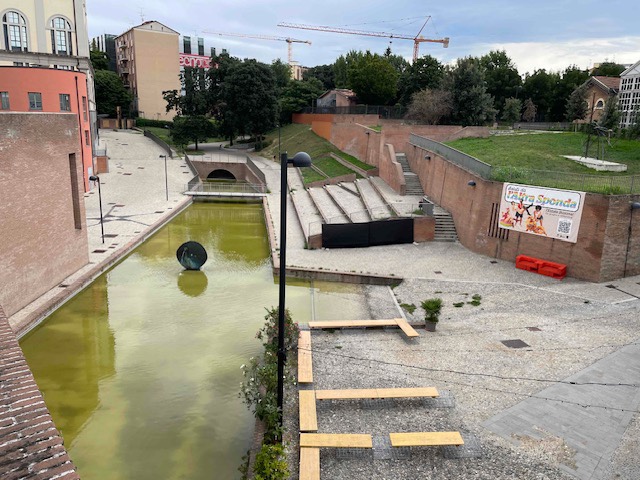
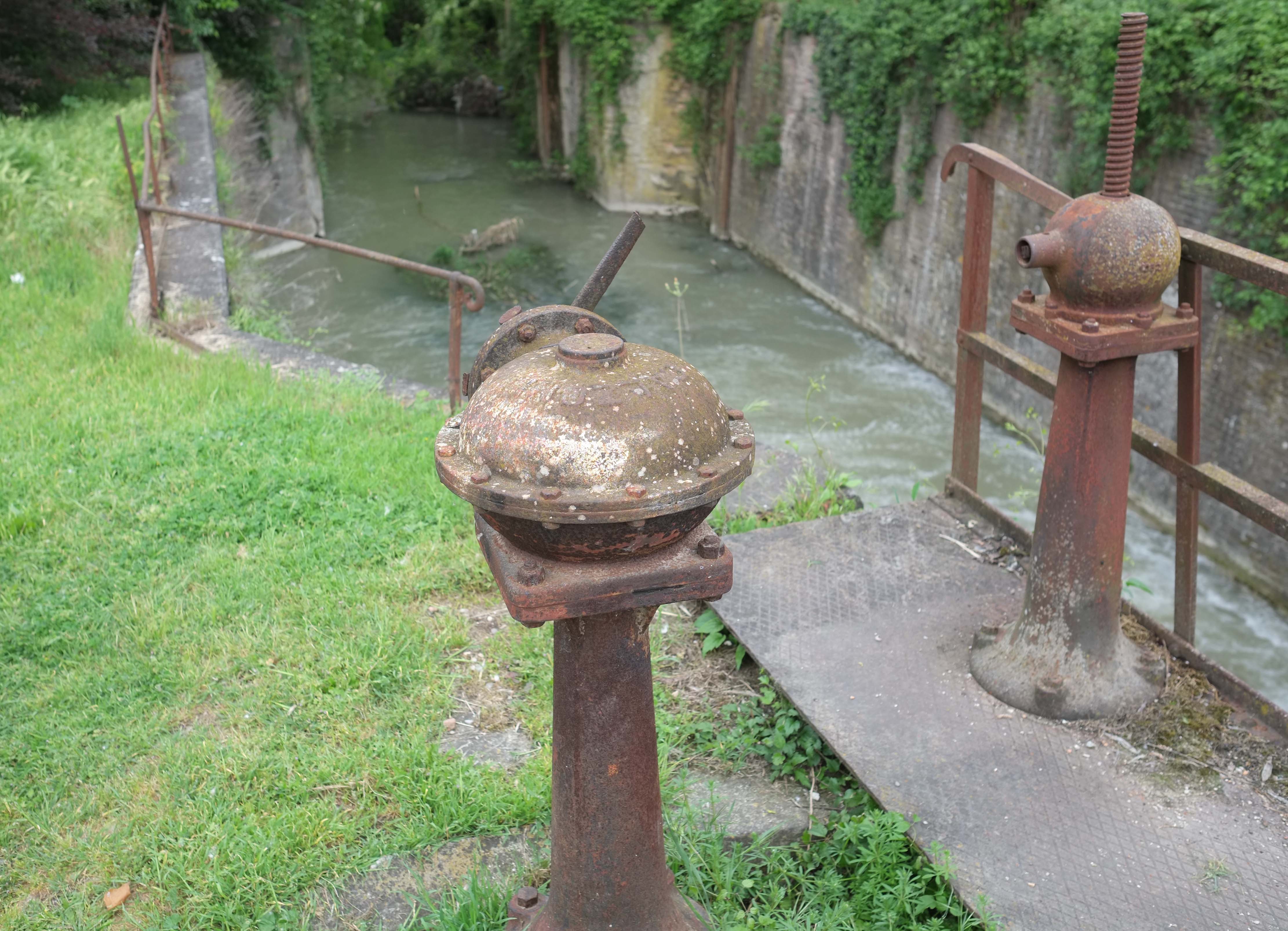
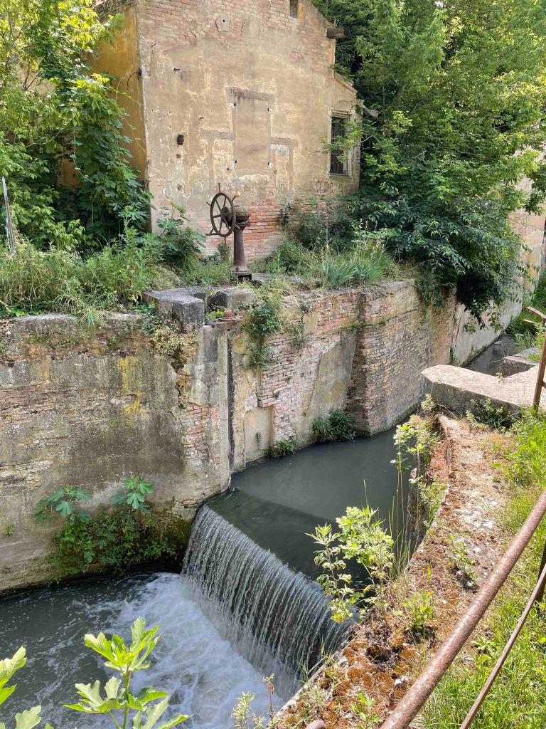
After around one kilometer, you’ll arrive at Via Yuri Gagarin which you’ll need to cross to continue along the canal. Not far from here you’ll come across a major canal lock, called the Sostegno del Battiferro. Here also there was a hydro-electric plant established in 1911.
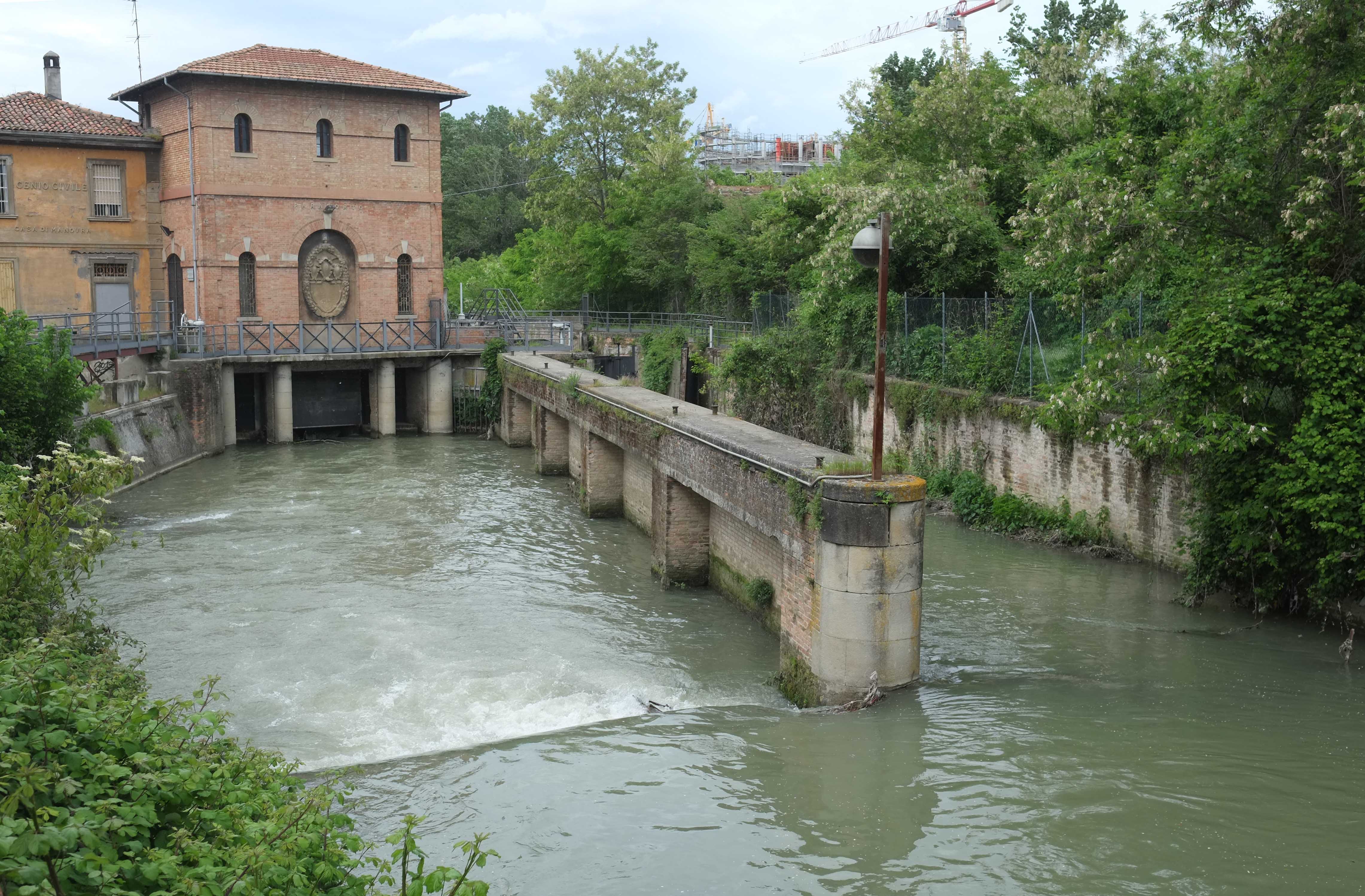
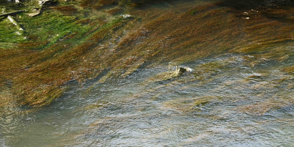
The canal was only navigable for around 7 months of the year due to variations in the amount of water flowing through the system. As an illustration of this, the photo above was taken in May 2014 whilst the one below was taken in June 2018. There is a significant difference in water level.
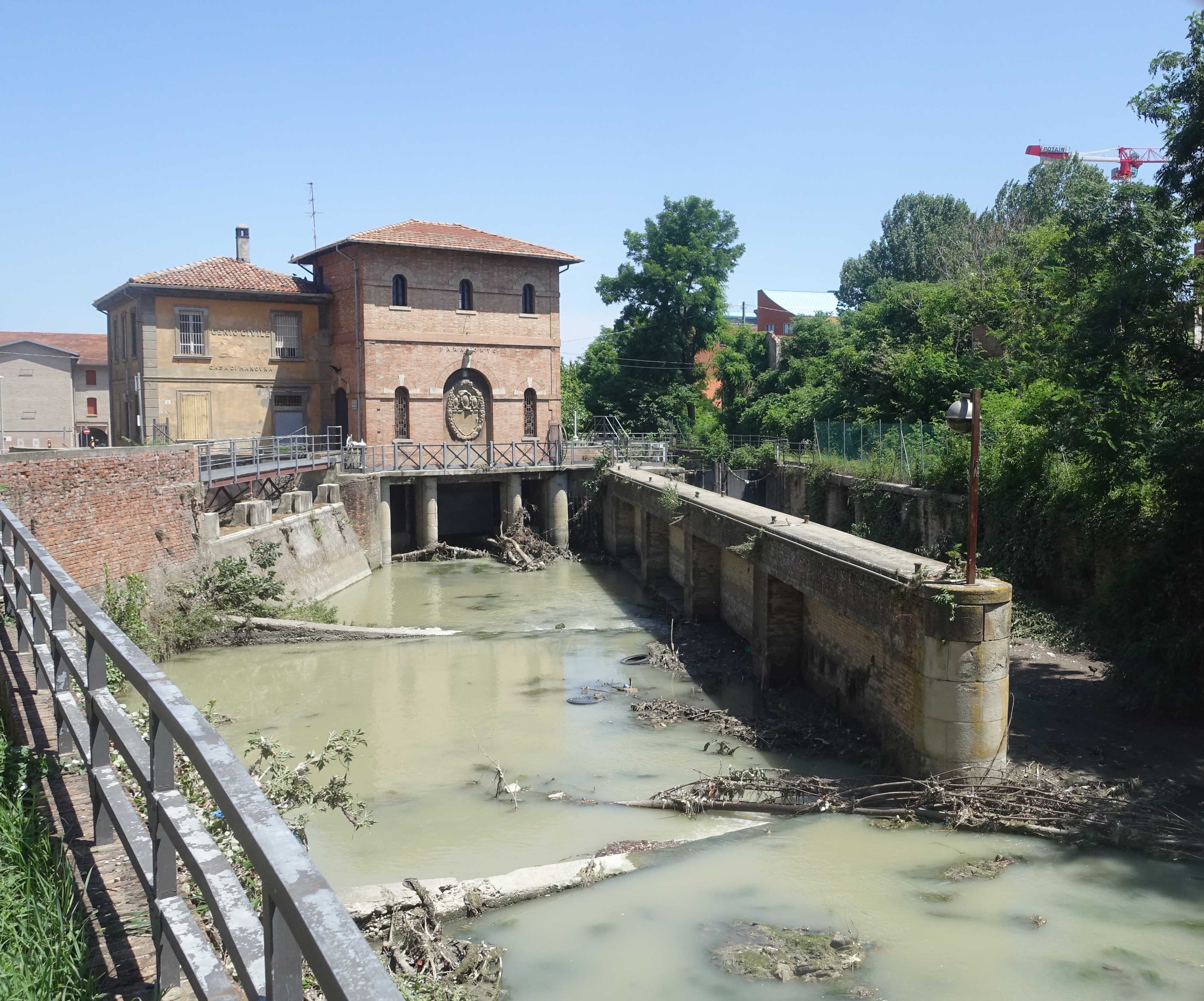
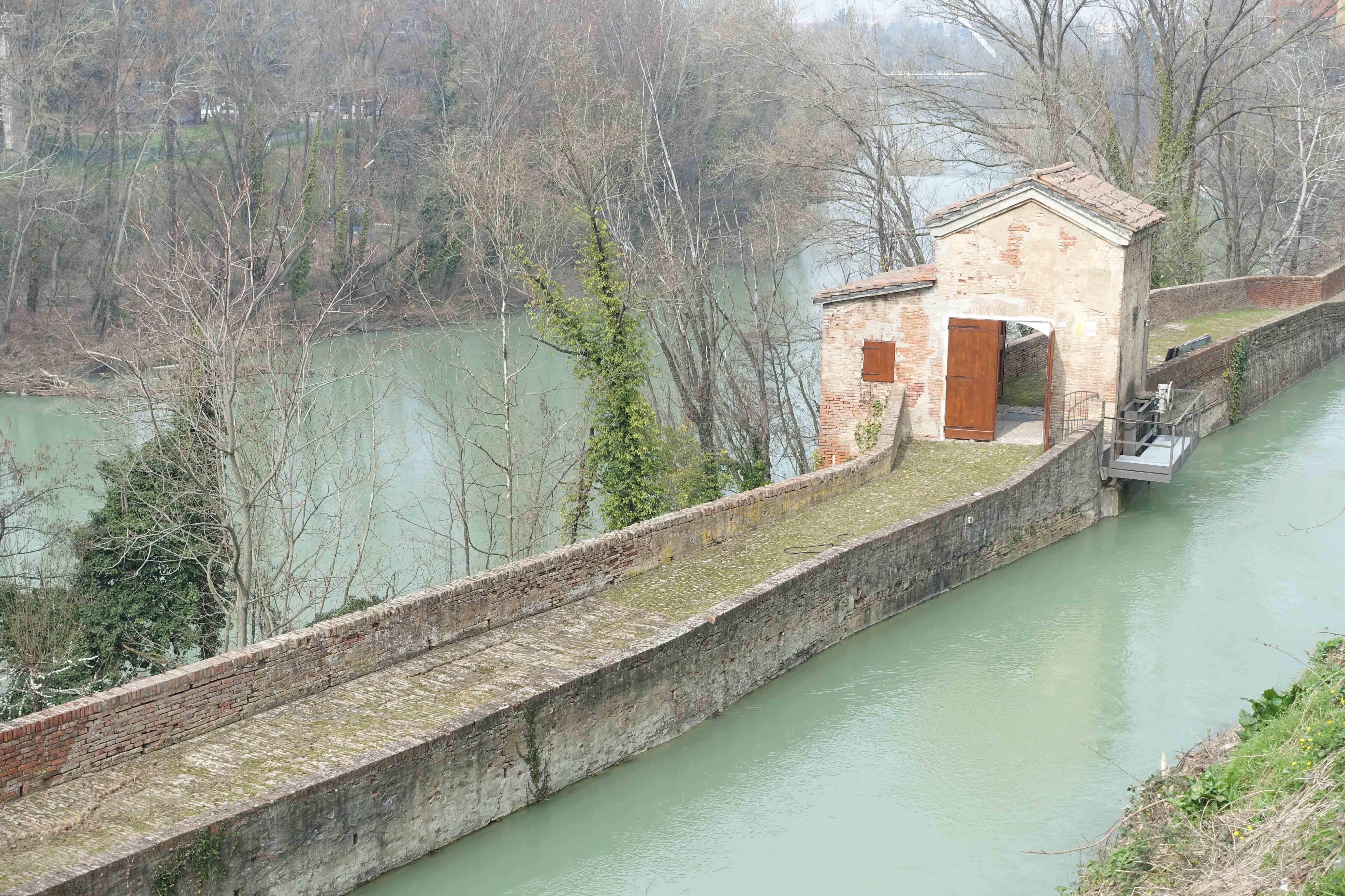
At this point, the canal splits into two parts with the navigable part on the left passing through the lock. This was a way of controlling the amount of water flowing in the Navile especially after heavy rain.

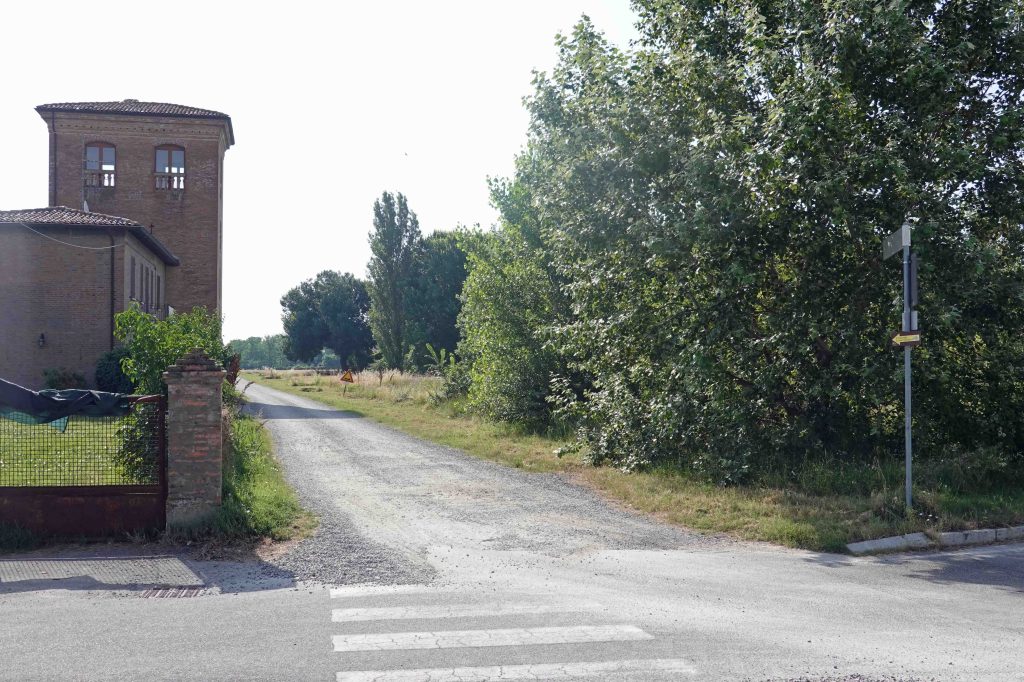
A little further on the left is the interesting Museo del Patrimonio Industriale or Industrial Heritage Museum. It traces the history of Bologna’s long and varied industrial past. The museum is in a former brickworks and terracotta factory.
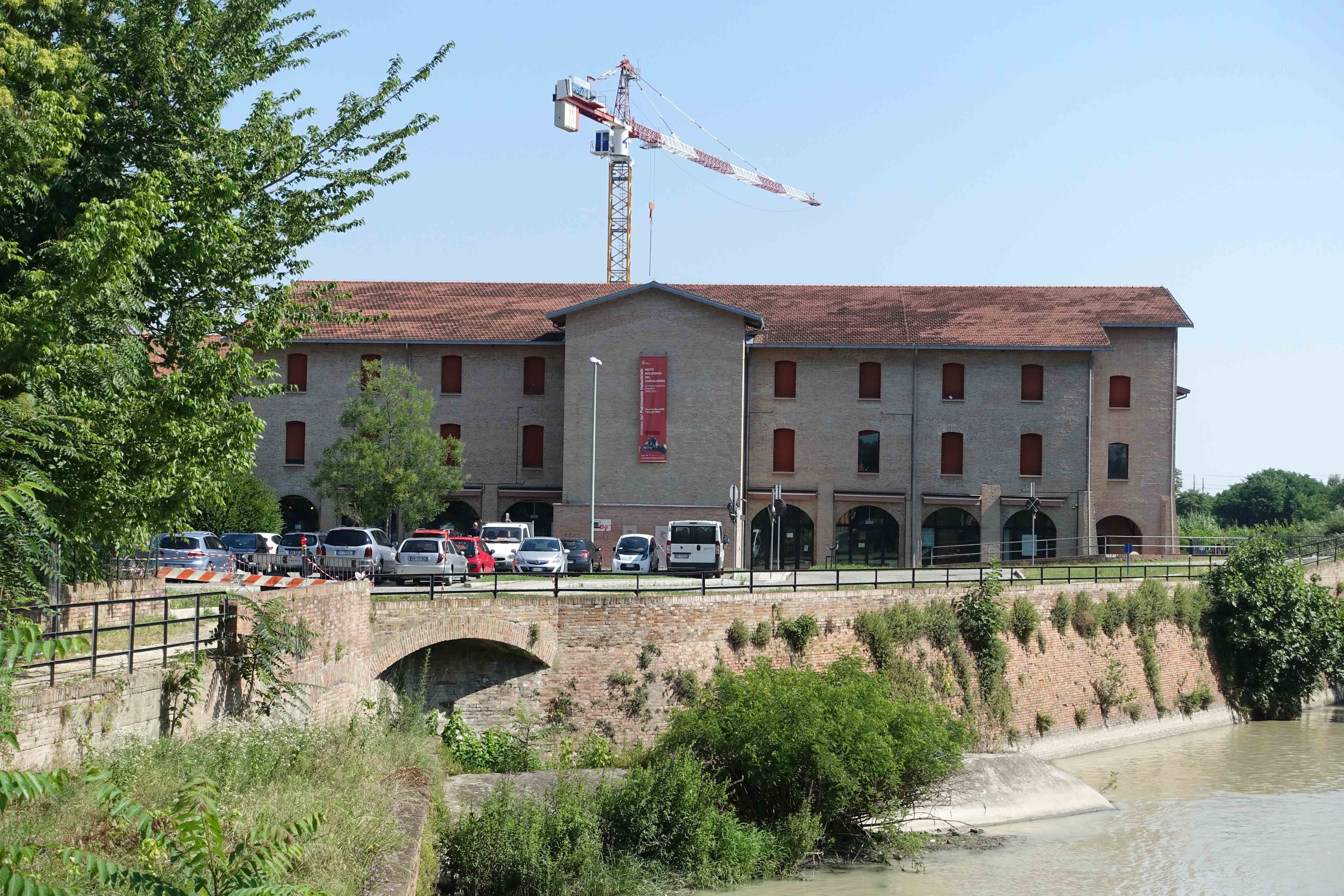
An interesting exhibit is a half sized working model of a silk mill which was driven by water.

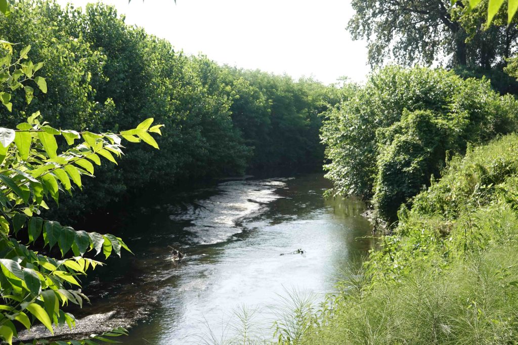
Shortly after, there’s a descent down a short flight of stairs to the tow path of the canal.

The walk here between the two parts of the canal is very pleasant , although it can be a bit muddy after rain.
Despite competition from railways, the Navile continued in operation until 1934 and old machinery from early on the 20th century can be seen along the canal.
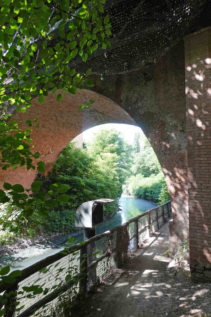
Just past the railway bridge which passes over the canal is the pleasant little Trattoria da Sandro al Navile. If you timed your walk right you could have lunch here.

About 2 kilometres further on and after passing underneath the ring road, you’ll arrive at the beautiful little Bionda bridge, “Il Pånt dla Biånnda” in Bolognese dialect. Legend has it that a blonde woman who lived nearby was fond of boatmen. Built in the late 1600s, it allowed horses pulling boats to pass from one side of the canal to the other where the two branches of the canal come back together. The bridge was restored in 2004.


The Cammino di Sant’Antonio follows the canal from the small town of Castel Maggiore to Bologna. This is a long distance walk from Padova to the sanctuary of La Verna in the Appennines.

From here, you can retrace your steps to Bologna, or continue along the Navile path to Castel Maggiore and then catch a train back to Bologna. However, it’s probably best to catch the train from Bologna and walk back to avoid waiting for a train to return. The trip costs just €1.50 and takes around 15 minutes.
The walk starting from Castel Maggiore
From the railway station underpass, take the direction away from the centre of Castel Maggiore and cross the large car park. On the right side of the car park is a gravel road that will take you down to the canal. Turn right and follow the path back to Bologna which is about 10km. away.
Here’s a Relive video of the 10km walk from Castel Maggiore back to Bologna following the canal. Go to video.
Happy walking!

Very nice description, this canal is one of my favorites. If i may add to that: if You go from the center, that is south of the rails, You can start Your walk earlier along the canal – not along via Carracci, but from Via Paolo Bovi Campeggi, going down this street not far from PAM market, You can find a place called “Sostegno della Bova”, where two canals merge (Cavaticcio and Moline/Savena) and there is also remains of an old lock. Then go below the railway in a scenic underpass along the Navile. Then You emerge from underground into Angeletti park, but on the left bank of the canal (towards part called Lunetta Mariotti). If You prefer the right bank, You can then climb up the bridge on via Carracci and change sides, or use any of the little bridges later.
LikeLike
Hi, thanks very much for your comment and the information. I can see what you have described on Google Earth. I hope I can get back to Europe and Italy before too long and have another walk along the canal. Paul
LikeLike